Remember This Place: 31°20'46''N 34°46'46''E
Immersive Documentary (Direction & Production.)
The Media Majlis at Northwestern University in Qatar & Biennale di Venezia
Completed in 2023.
![]()


Overview
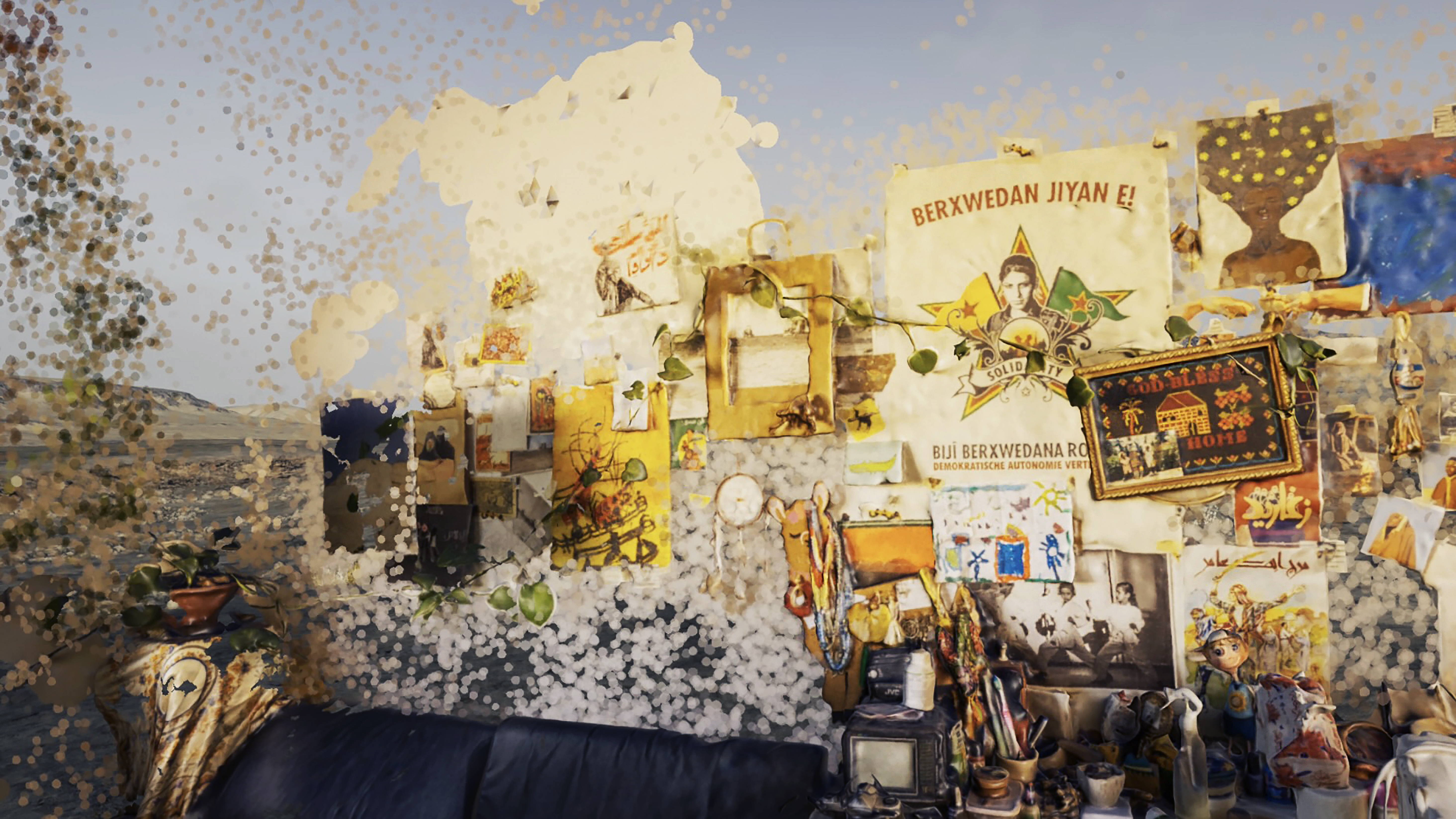
Remember this place: 31°20’46”N 34°46’46”E explores the concept of a fragile home: one that has been continuously threatened in the physical world, yet continues to survive thanks to the determination of local women who fight daily to preserve their rights to the land.
The story does not take place in one location. It does not have one protagonist. It is a journey across many homes, communities, and villages, where we encounter powerful Bedouin women who are activists, architects, artists, and poets working tirelessly to preserve their homes, culture, and histories from being erased.
The film brings together fragments of spaces, personal memories and visions of the future, in order to create a virtual universe that speaks about home.
View Trailer
The Process
This narrative documentary project was developed as the result of a two-year engagement and field work with different Palestinian Bedouin communities. During this time, I partnered with female Bedouin leaders from across various communities, and with them, organized a series of storytelling
workshops, as well as informal gatherings, and “listening sessions,” where we recorded stories about the community’s past, present, and future, through their lens.
With the use of word association exercises, we recorded personal and collective memories: The
focus was to explore subjective memories of home, childhood, and day-to-day life; and then to digitize fragments and spaces of homes, specially across communities threatened to be displaced.
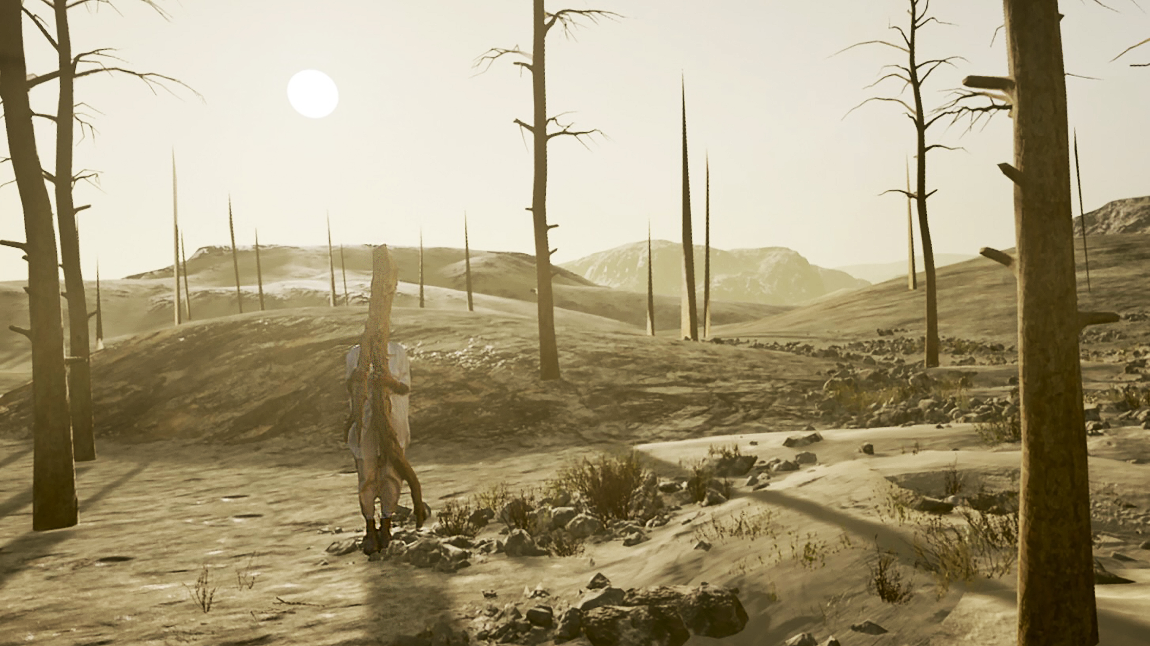
Initially, the idea was to map and digitize Bedouin spaces that were being erased in real time, in order to have a three dimensional record of these physical spaces that could eventually exist in the virtual world, or in ‘metaverse,’ spaces; and secondly to use these digitizations in order to build a virtual world that a viewer or participant could inhabit: to allow participants to enter the “memory spaces.”
This narrative documentary project was developed as the result of a two-year engagement and field work with different Palestinian Bedouin communities. During this time, I partnered with female Bedouin leaders from across various communities, and with them, organized a series of storytelling
workshops, as well as informal gatherings, and “listening sessions,” where we recorded stories about the community’s past, present, and future, through their lens.
With the use of word association exercises, we recorded personal and collective memories: The
focus was to explore subjective memories of home, childhood, and day-to-day life; and then to digitize fragments and spaces of homes, specially across communities threatened to be displaced.
Initially, the idea was to map and digitize Bedouin spaces that were being erased in real time, in order to have a three dimensional record of these physical spaces that could eventually exist in the virtual world, or in ‘metaverse,’ spaces; and secondly to use these digitizations in order to build a virtual world that a viewer or participant could inhabit: to allow participants to enter the “memory spaces.”
Screenings
Venice International Film Festival (official section)
Media Majlis Museum
Geneva International Film Festival
Torino Film Market
Brief Histories Gallery
The Cooper Union
& more in 2024.
Venice International Film Festival (official section)
Media Majlis Museum
Geneva International Film Festival
Torino Film Market
Brief Histories Gallery
The Cooper Union
& more in 2024.
The Locations
This is not the story of one protagonist, or one place. Rather, it is the story of many places across the region which are threatened to be demolished, or displaced.
We primarily worked with Bedouin communities, both inside the West Bank, as well as Israel’s Negev desert, as both groups continue to experience demolitions, and displacements across both sides of the separation wall.
Some of these communities include:
31°20′46′′N 34°46′46′′E
Al Araqib is an unrecognized Bedouin village inside of Israel. This village
has been demolished more than 200 times since 2010.
31°00’25.0”N 34°57’14.0”E Rakhameh is a village scheduled to be ‘recognized’ by Israel in the
near future. In the process of becoming ‘recognized,’ half of the village will be demolished.
31°11’41.1”N 34°50’15.2”E Shaqib al Salam was established in 1979 as a planned neighborhood
where many of the Bedouin refugees were forced to urbanize.
31°08’39.2”N 34°49’15.6”E Wadi an Na’am is the largest unrecognized village in the Negev. Most
of the residents here were internally displaced during the Nakba.
32°47’53.2”N 35°07’46.7”E Tail el Arj is a Bedouin community located near Haifa,
which was demolished in 1990.
32°03’26.5”N 35°22’21.6”E The residents of Arab al Ka’abneh were forced to evacuate their
homes in 2022. They are currently living outside Doma, where their house was recently demolished.
31°12’49.8”N 35°05’05.5”E Abu Grīnāt is a historic Bedouin village. Despite the state’s recognition
of Abu Grīnāt in 1999, the village’s houses are not connected to the national electricity grid.
31°48’26.0”N 35°18’23.7”E Kasarat is a Bedouin community located in the West Bank. The com-
munity suffers from the chemical waste of a nearby industrial plant.
31°48’12.2”N 35°20’09.4”E
In 2018, Khan al Ahmar was threatened to be demolished because it sits between two large settlements in the West Bank.
 31°08’39.2”N 34°49’15.6”E
 31°00’25.0”N 34°57’14.0”E
 31°20′46′′N 34°46′46′′E
 31°46'26.4"N 35°25'02.5"E
31°46'26.4"N 35°25'02.5"E
 31°11'41.1"N 34°50'15.2"E
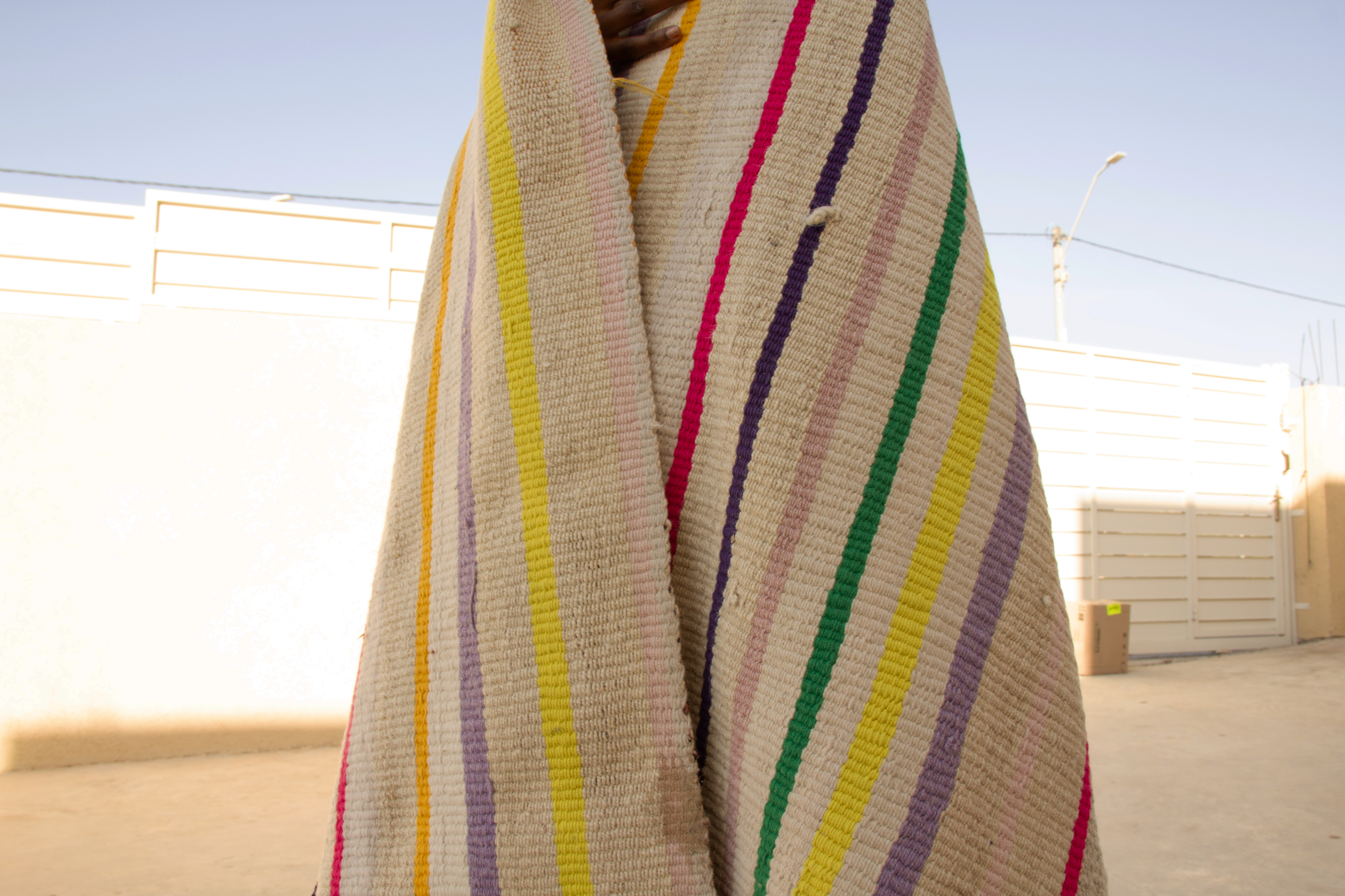
31°11'41.1"N 34°50'15.2"E